Sand Point Way can be better
Sand Point Way NE runs through Northeast Seattle, connecting the University District to Lake City and major parks such as Magnuson Park and Matthews Beach. For decades it was designated as State Route 513, prioritizing motor vehicle movement.
Though it is no longer a state highway north of Magnuson Park, the corridor is still centered around vehicles. This community initiative advocates for changes that will make it more welcoming to other users, like safer crossings and pedestrian-friendly streetscaping.
The problem
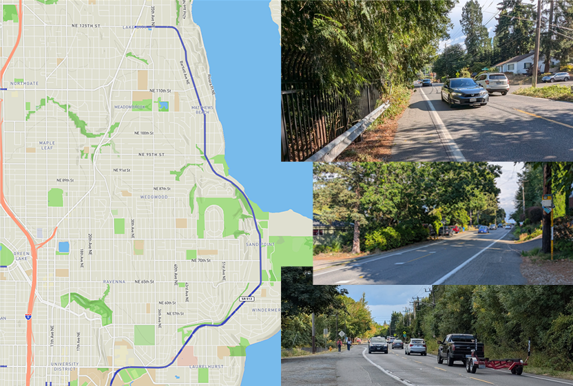
Sand Point Way NE has long gaps without safe crossings, minimal or absent sidewalks, and fast-moving vehicles, creating hazardous conditions for pedestrians and cyclists. Key nearby locations — Magnuson Park, Burke-Gilman Trail, and surrounding neighborhoods — lack adequate connectivity, and even walking to the bus stop uis a perilous journey.
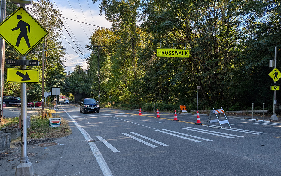
Along the three mile stretch from north Magnuson Park to the intersection at 35th Ave NE, there are no traffic lights, encouraging vehicles to drive far above the 25mph limit. There are over ten road shoulder configurations along Sand Point Way through this stretch. Road safety infrastructure on this corridor road remains lacking, leaving families with limited ways to safely cross this de facto highway.
Why now
In 2025 over 220 people suffered severe, life-altering injuries on Seattle streets, with roughly a third of those victims being pedestrians. We don't want to wait for more deaths on Sand Point Way before SDOT takes action. We're calling on the city to fix this arterial so that cars, pedestrians, and other users of the road can all travel and cross safely.
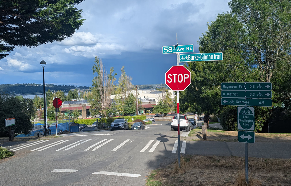
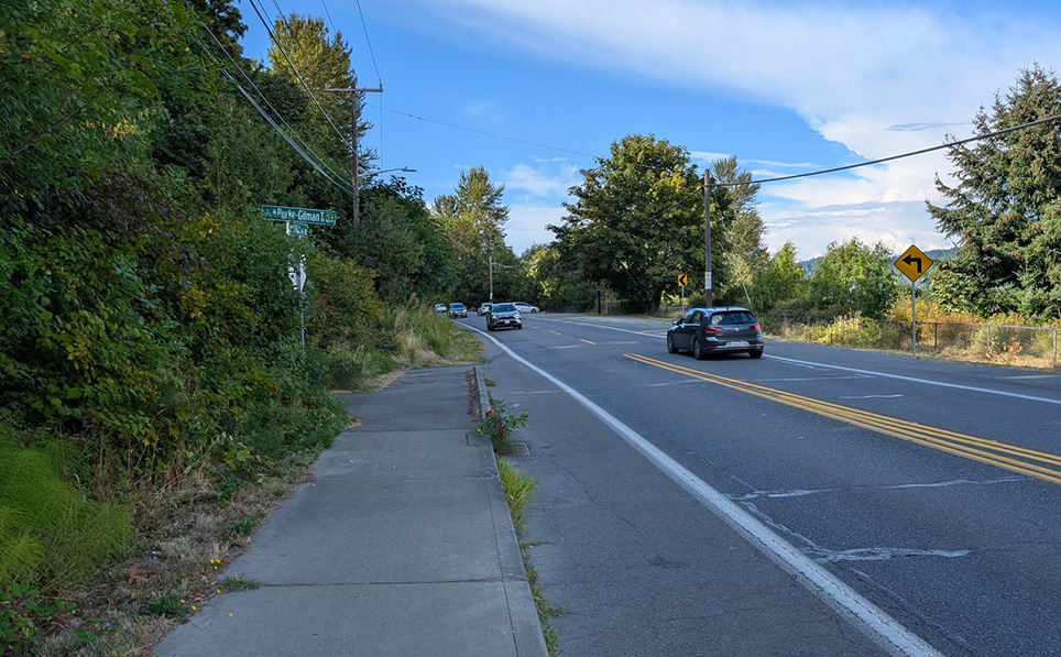
It can also be difficult to access Matthews Beach, without first entering from the Burke-Gilman Trail.
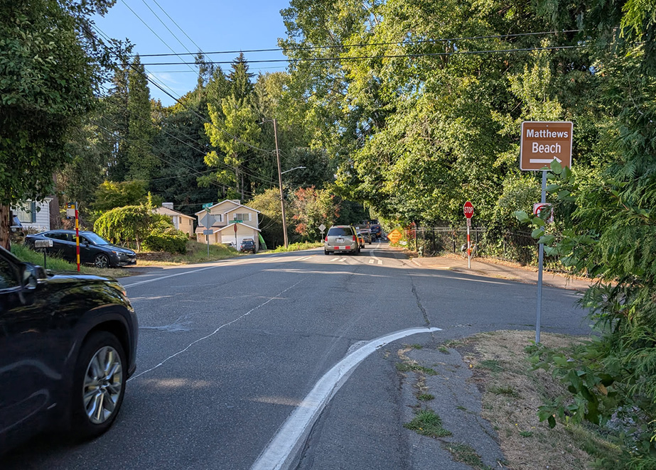
The crosswalk at 95th is well anointed, but there isn't a lot of walking space once you arrive on the east side, which is the only side that has a cutout for crossing under the Burke-Gilman to access Matthews Beach.
Our vision
We believe that a road that once moved state highway traffic can be redesigned to move people on foot, on wheels, and in transit while remaining an arterial for cars.
Help build momentum
Visit our Get Involved page to learn how you can join us on an advocacy walk, help spread the word, or to contact your city council member.